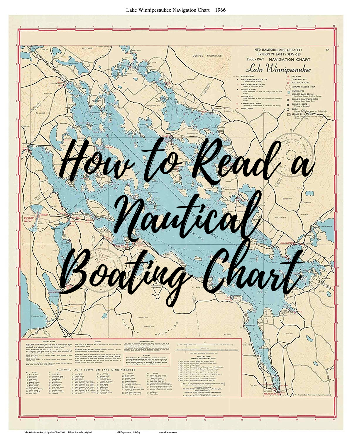
Nautical charts are an important navigation tool, even for the lake you live on. A nautical chart helps you figure out which way to go, how deep the water is, and the location of harbors. You will also know about underwater obstructions that may not be visible and overhead bridges and power lines that could get in your way.
Scale:
Scales are expressed as ratios that differ from map to map and are found in the top right of the chart. When purchasing a nautical chart for a specific waterway, you will typically have an option of the scale of either a smaller portion that covers in greater detail or a larger chart that covers less detail. The scale of a harbor chart, for example, might be 1:20,000, meaning that 1″ on the chart represents 20,000″ of the earth’s surface, or about 0.27 nautical miles. That makes a mile on the water a little less than 4″ on the chart. Harbor charts will be very detailed. When you are sailing in open waters, you’ll probably use a small-scale chart (1:100,000 or higher) that covers a large area. When you are close to shore, and more at risk from shoals and other dangers, your large-scale chart (1:20,000 to 1:80,000) will provide more detail over a smaller area.

Depths:
If you look in the upper right corner of the map near the scale, you will see the unit of measurement printed in big letters. You need to know this because charts use all sorts of different measurements. Your chart could include feet, fathoms, or meters.The small numbers on a nautical chart are water depths at “Mean Lower Low Water,” which is the average depth at the lower of each day’s two low tides. Measurements at this level help boaters determine the closest underwater clearance possible for their boat.
Contour Lines:
Contour lines are there to give you an idea of what is happening beneath the water’s surface. Contour lines, often red, connect similar water depth listings. This has the effect of dividing areas into shallower and deeper waters. Use the contour lines as a reference for the overall water depth in an area. Shoals and other shallow areas are blue. These spots tend to be no more than 18 ft (5.5 m) deep, although this varies from chart to chart. Dry land will usually be inside a contour line, but not always. Pay particular attention to any tan spots in the middle of water channels. Sometimes these spots are submerged and can damage your boat, especially in shallow water.
Aids to Navigation:
Red day beacons are shown on your chart as small triangles. The green ones — any color but red, actually — appear as small squares. Lighted markers have a magenta flare symbol — like an exclamation mark. A variety of symbols are used for buoys. Lighthouses are generally shown as a dot inside a magenta disk, sometimes with the flare symbol.
Compass Rose:
The compass rose is a series of 3 circles surrounded by numbers. The outer circle is to help you find true north, represented by a star or 0. The inner circle points to the magnetic north pole at the time of the chart’s printing. You can use a magnetic compass to navigate with the compass rose as a guide.
Chart Notes:
To avoid cluttering the parts of the chart showing navigable water, cartographers show details about certain features, dangers, restrictions, and warnings in “chart notes” elsewhere on the chart. Some notes are about the entire chart; others relate to a specific feature or portion of the chart that uses a nearby label.

It is extremely important to know how to read a nautical chart. Even if you have a GPS chartplotter, many things can disable the electronic system that most of the time is out of your control. Knowing at least the basics on how to read a nautical chart will help you in the most dire situation and will make you and your passengers feel much safer out on the water in your new lakefront house!
Posted by Scott Freerksen “The Lake Guy”